


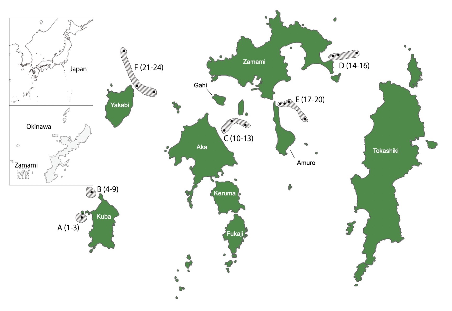
座間味島周辺の六つのモニタリング海域における海水採取地点を示した地図

座間味島周辺の六つのモニタリング海域における海水採取地点を示した地図。
日付:
2024年2月13日
Copyright OIST (Okinawa Institute of Science and Technology Graduate University, 沖縄科学技術大学院大学). Creative Commons Attribution 4.0 International License (CC BY 4.0).
シェア:


