


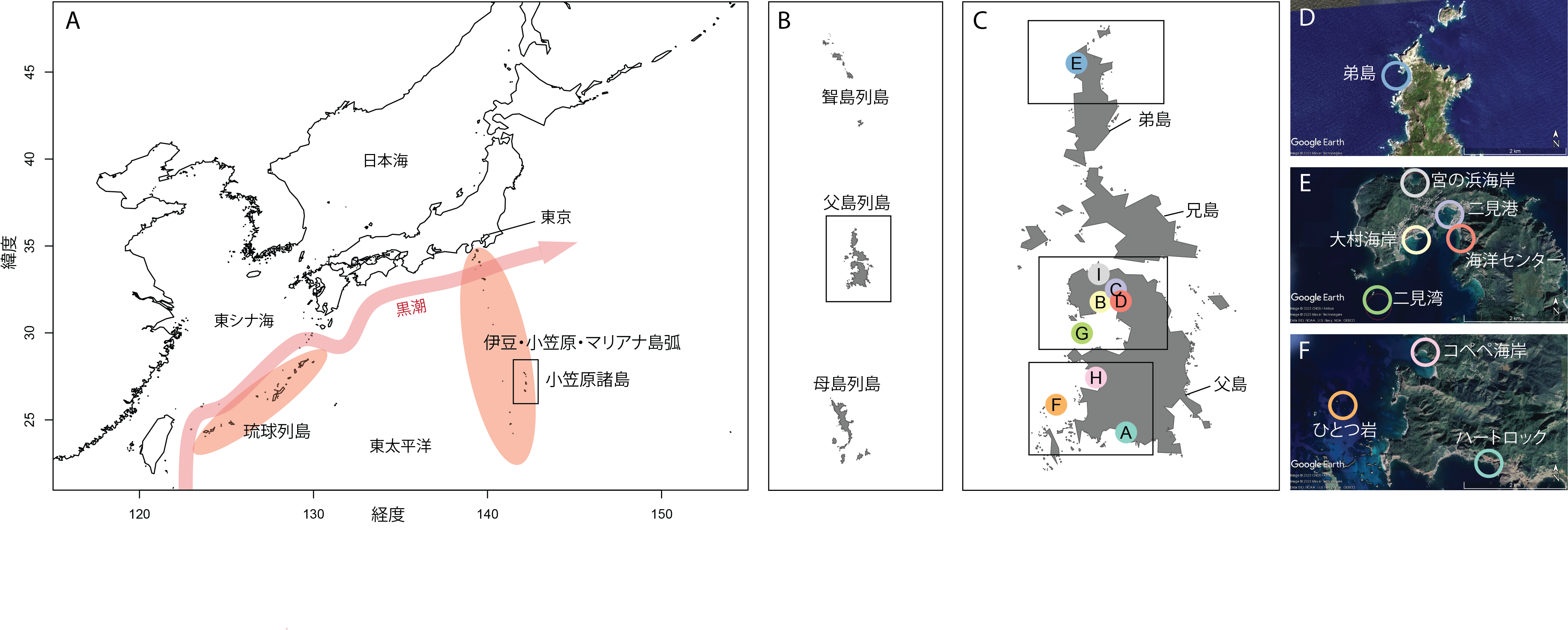
JA: Composite image of maps showing the location of the Ogasawara Islands as well as the sampling sites for the study within the archipelago

東京の南、黒潮の暖流域の外にある小笠原諸島の位置と、研究に使用した海水の採取地点を示した地図。画像提供:大島アチュクバシュ・アイシェ遥(OIST)
Date:
16 February 2024
Copyright OIST (Okinawa Institute of Science and Technology Graduate University, 沖縄科学技術大学院大学). Creative Commons Attribution 4.0 International License (CC BY 4.0).
Share on:


